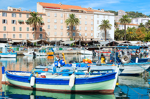
Still on the D257, the road continues through the Baracci valley towards the village of Burgo then the hamlet of Martini. Throughout the route there is the possibility of stopping at the side of the road and going down to the river. When the snow melts and during the summer period, canyoning enthusiasts come to take advantage of the current to rappel, on foot or by canyoning. The Baracci River is ideal for people who want to discover this sport because it includes easy and short routes. It is necessary to be accompanied by a professional guide for this practice. The D257 continues towards the Siu pass and offers views of the ridge and mountain ranges. Going back down, we arrive at Santa Maria-Figaniella, with a Roman church from the 12th century. From the village on the N196, the road continues towards Propriano. On the southern part of the Gulf of Valinco, the road bordering the gulf offers a panoramic view of the entire site.
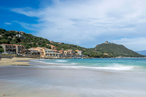
Belvédère-Compomoro is a fishing village which has kept its authenticity over time. The houses look like fishermen’s huts. Around the village there are hiking trails and one of the best known is the walk towards the Genoese tower of Campomoro. It was built during the 15th century and is one of the largest on the island: 15m high! Inside the building, a permanent exhibition traces the history of the Genoese towers of Corsica. From Propriano, you arrive at Sartène via the N196. By making a detour of a few kilometers on the D296, the route will take you to the Genoese bridge Spin’a Cavallu, which means ‘horse’s back’. It was recently renovated and dates from the 13th century. The bridge has been classified as a Historic Monument since 1992.
In 1840, Prosper Mérimée called Sartène “the most Corsican of Corsican towns”, with its narrow streets and tall gray and brown facades. The city was built on the rock of Pitraghiu in 1550 by the Genoese, who entrusted its care to rich aristocrats. Between its souvenir shops and neighborhood cafes, Porta Square is the central place that houses the market. On Good Friday, the Catenacciu procession takes place, a moving Stations of the Cross in the old town. At the entrance to Sartène, the old A Scaledda bridge is the gateway to Sartène. You can admire the fortifications: the ramparts, the tower and the Echauguette (16th century Genoese tower built on the basis of an old medieval tower). The museum of Corsican prehistory and archeology of Sartène presents visitors with island collections concerning archeology and the first settlements of the island dating back nearly 10,000 years. The main collection funds come from prehistory, Bronze Age and Iron Age. There is also a vineyard area in Sartène, covering almost 2,600 hectares, with the AOC designation.
14km from the village is the Cauria plateau, towards Bonifacio. There are three important sites of alignments of menhirs (including the “Cemetery of the Turks”) and dolmens: the alignment of Stantari, that of Rinaghju and the dolmen of Fontanaccia. The latter is one of the best preserved in Corsica. It is 1.8m high and almost 3 meters wide. The dolmen is also called Stazzone di u Diavole ”devil’s forge”. The three sites are located within walking distance of each other. From Sartène, you have to take the road towards Bonifacio to turn off towards Tizzano. After 10km of road, you must follow the D487, and the path is then indicated. Palaggiu’s alignment was unearthed by Roger GROSJEAN in the mid-60s, for 4 years. In total, 258 menhirs are present within the site. Some pieces were moved to the Sartène museum. Roccapina beach is one of the best known in Corsica with its Genoese tower. In the background, the Roccapina lion dominates the region. Although the sand is white and the water crystal clear, access to the beach remains narrow and uneven. From the tower, the viewpoint gives a panoramic view of the region.


